If you’re a Commercial Appraiser and you’re using FEMA to get the flood data for your narrative appraisal reports, then you’re getting your subject and comp flood data the hard way.
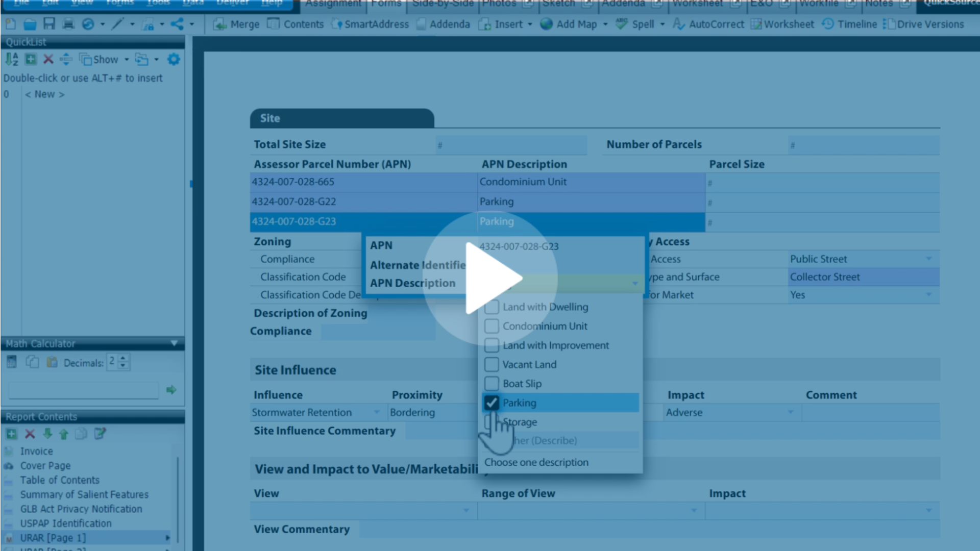
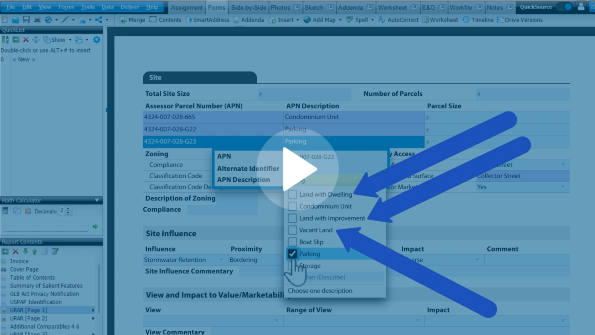
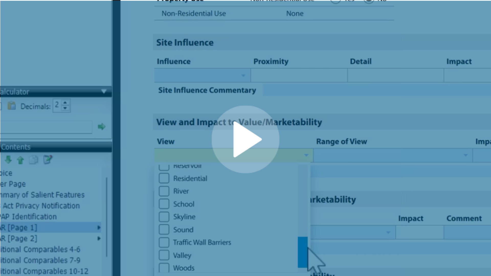
Adding flood maps to your appraisals is an important step for our commercial appraisers, but generating a flood map to add into a report may seem like a tedious step if you're using another provider to get your flood maps.
Using InterFlood maps for your subject and comps, helps verify that your data is correct in the appraisal. It also takes work off your plate. By using InterFlood over FEMA.gov, you can get your flood maps in a fraction of the time. If you’re using another source to get your flood maps, then you're wasting valuable time.
Watch the video below to see how fast you can add an InterFlood map straight into your report.
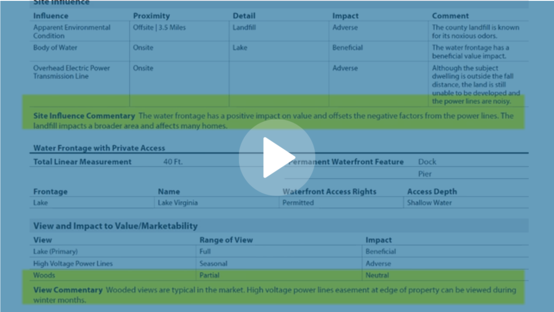
InterFlood delivers a fully colored flood map with the subject property easily identified.
As you can see, our InterFlood maps save time and money and are worth every single penny. You can get maps here, or give us a call at 1-800-ALAMODE to go over InterFlood map options


.png)


.png)
-1.png)
.png)
.png)
.png)
.png)
.jpg)
.png)
-1.png)