If you work in rural areas or appraise new construction very often, you're used to the mapping providers not being able to accurately find your properties, which means you're also used to manually dragging all your balloons around to place them every time you generate a location map for a report. It's time-consuming and frustrating.
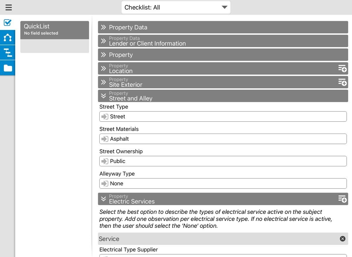
Instead, use the mapping feature built into TOTAL for Mobile. When you're at the property for the inspection, have TOTAL for Mobile attempt to geocode the property. Then, if it's not right, choose the option in the "Data" screen to have TOTAL save your current GPS position.
You can even do this for each of your comparables, as well. While you're taking the photos of the front of the properties, have TOTAL for Mobile remember your GPS coordinates for that property.
Then, after you sync your report back to TOTAL and get your location map, TOTAL doesn't try and geocode your properties again, but rather uses the GPS coordinates from your mobile device to place your balloons accurately for each of your properties.
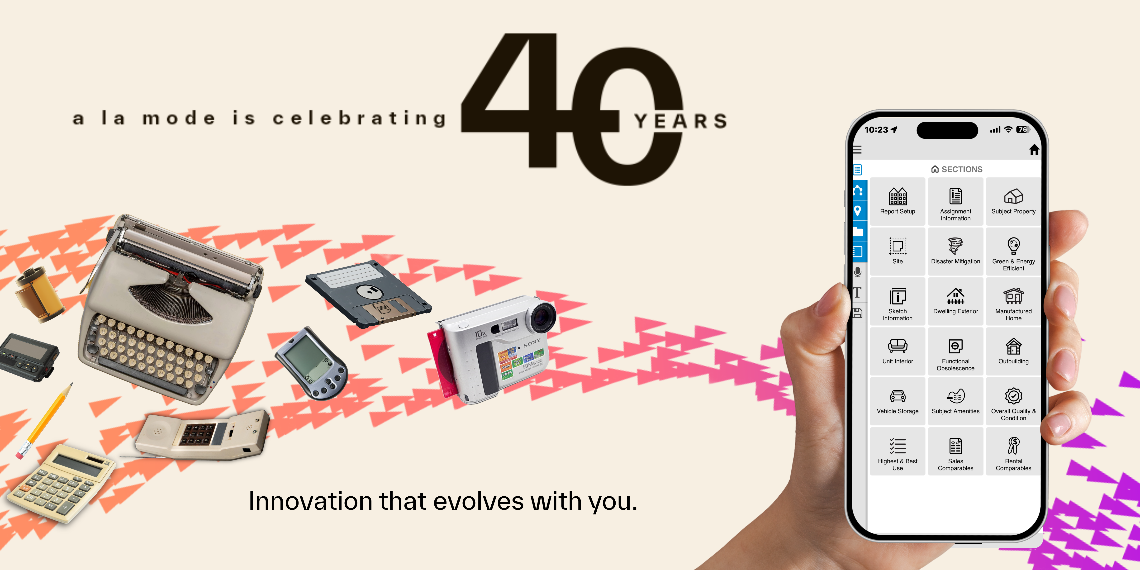
Try this in TOTAL for Mobile with your next report. If you're not using TOTAL for Mobile yet, download it from the App Store or Google Play.


.png)

.png)
-1.png)
.png)
.png)
.png)
.png)
.jpg)
.png)
-1.png)


